Internships
Students enrolled in geospatial courses at PCC have unique opportunities to apply their knowledge, learn new skills, and gain professional experience through internships with local partners.
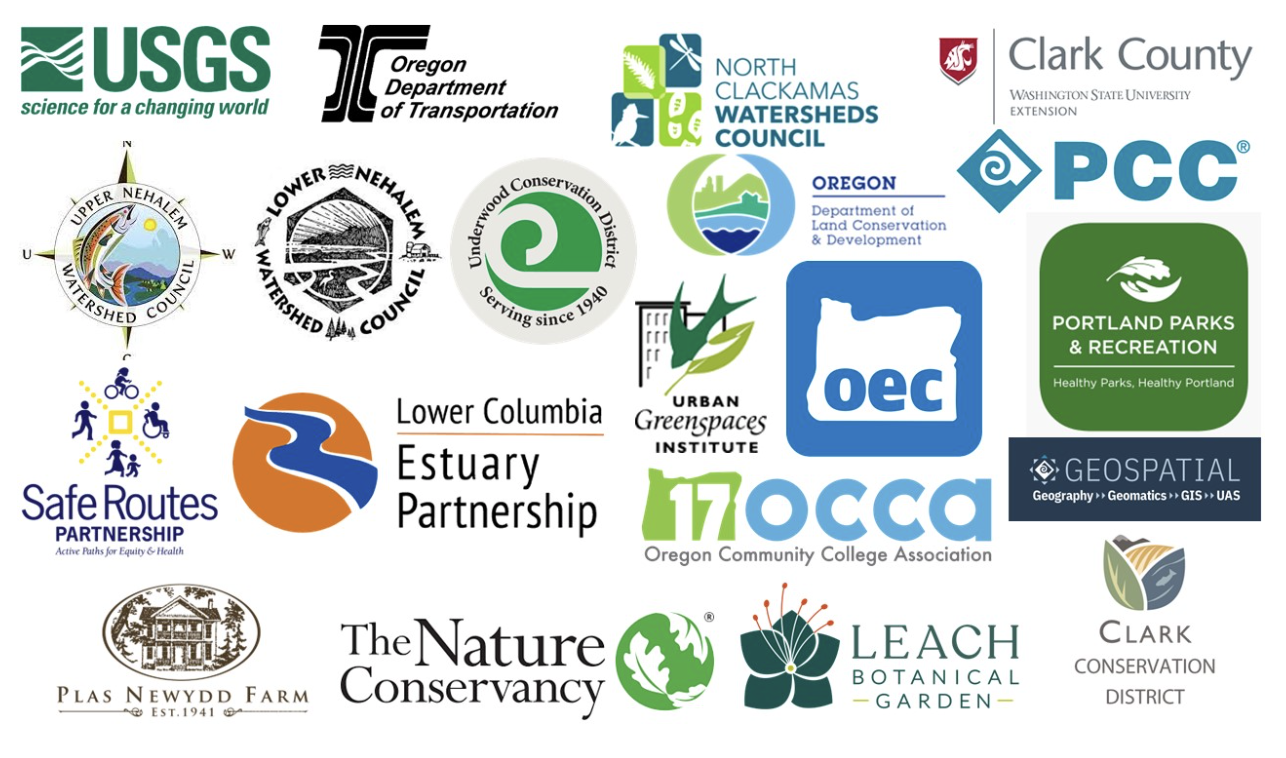
These paid positions typically last from three to six months and are funded through the National Science Foundation and the U.S. Geological Survey. Since 2020, we have worked with 20 community partners to provide 22 students with internship opportunities.
Internship partners
Student work
- In 2022, UAS certificate student Angela D’Esposito interned with Clean Water Services, the water resource management utility for the Tualatin River Watershed. As part of the internship, D’Esposito captured, processed, and managed drone imagery related to wastewater/utility infrastructure, project monitoring, inspections, and wetland projects. Using drones allowed the district to conduct work that would have otherwise been more expensive and time-consuming. D’Esposito created outputs and published deliverables to the CWS web map for project managers and staff to view and analyze.
- In 2023, GIS and UAS certificates student Max Egener worked with Washington State University’s Clark County Extension to develop a public-facing web mapping application that would allow users to explore patterns of land use, development, and soil productivity in areas near urban centers.
- The Cascade Volcano Observatory at the USGS hosts up to five GIS interns each academic year, working on a long-term project of creating digital elevation models (DEM) for Mt. St. Helens’ eruptive activity between its major eruption on May 18, 1980, and October 1986. Students got their work published and the DEM is now available for download through the USGS website.