Photopoints
These photos document the changes that have occurred at the RCESC over the years. The photo on the left was taken from the south side of the pond during the summer of 1998; while the photo on the right was taken from the same location during the summer of 2006. You can also view more comparisons between these years.
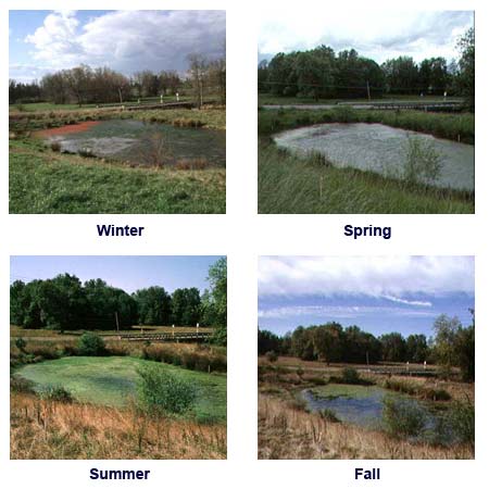
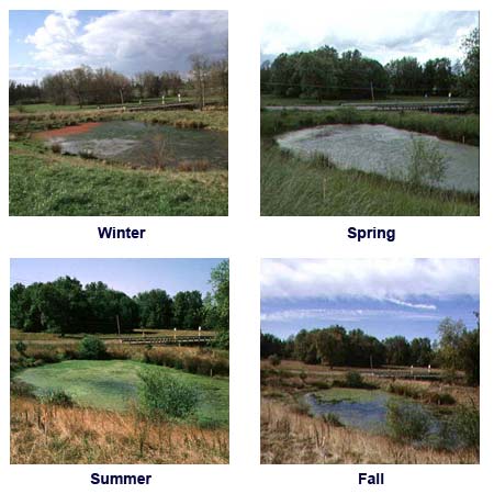
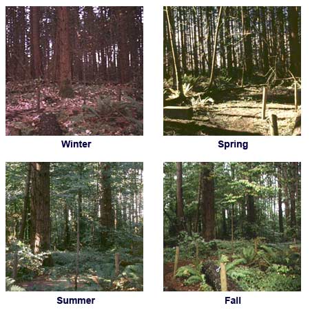
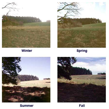
We wanted to create a pictorial record of both seasonal and yearly transitions that occur at the Rock Creek Environmental Studies Center. This is being accomplished with seasonal photos taken at nineteen photo points located throughout the site. Photos are available for the following years:
 Bottomland
 Pond
Pond Riparian
 Upland Forest
 Wet Meadow
